Historic Evansville
The definitive site for all things historic in Evansville
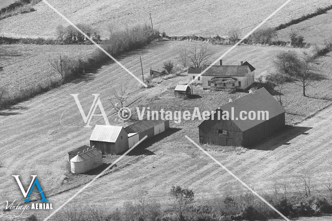
6xxx Mesker Park Dr
RAZEDView all images of 6xxx Mesker Park Dr |
6000? Mesker Park Dr
Evansville, IN
Quick Timeline
| c1880 | House is built |
| c1990 | Razed |
Location
District: German Township
Latitude: 38.034046
Longitude: -87.625572
Architecture
Style: Farmhouse
History
Comments
razed >1980 <2005
See also
HistoricEvansville.com: Residences / Domestic
HistoricEvansville.com: German Township district