Historic Evansville
The definitive site for all things historic in Evansville
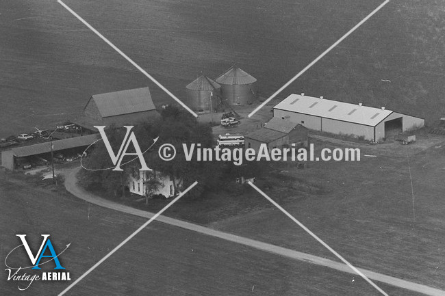
Carol Farm
RAZEDView all images of Carol Farm |
7601 S Happe Rd
Evansville, IN
Quick Timeline
| c1880 | House is built |
| c2010 | Razed |
Location
District: Union Township
Latitude: 37.900734
Longitude: -87.642779
Architecture
Style: Modified Pennsylvania farmhouse
History
Comments
looked like cruciform, razed >2005 <2010
See also
HistoricEvansville.com: Residences / Domestic
HistoricEvansville.com: Union Township district