Historic Evansville
The definitive site for all things historic in Evansville
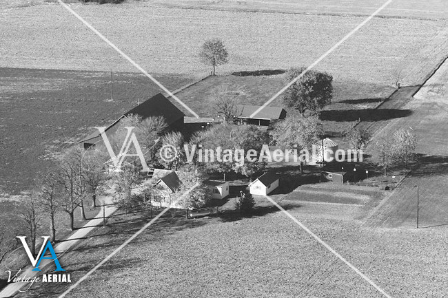
12xxx N Warrick County Line Rd
RAZEDView all images of 12xxx N Warrick County Line Rd |
12xxx N Warrick County Line Rd
Evansville, IN
Quick Timeline
| c1900 | House is built |
| c2002 | Razed |
Location
District: Scott Township
Latitude: 38.095575
Longitude: -87.474062
Architecture
Style: Cruciform
History
Comments
razed c2002, barns still standing
See also
HistoricEvansville.com: Residences / Domestic
HistoricEvansville.com: Scott Township district